- East Coast
- 5 Boroughs of New York
- Bar Harbor
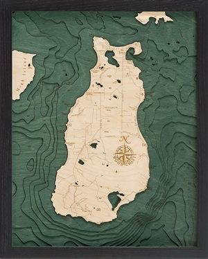
- Block Island
- Boothbay Harbor
- Boston Harbor
- Brooklyn New York
- Canandaigua Lake
- Cape Cod
- Cape May
- Charleston
- Chesapeake Bay
- Darien- Connecticut
- Delaware Bay
- Georgia Coast
- Kennebunkport
- Long Island Sound
- New Hampshire Coast
- Philadelphia
- Rumson
- South Carolina Coast
- Finger Lakes
- Great Sacandaga Lake
- Hilton Head
- Lake Champlain
- Lake George
- Lake Norman
- Lake Placid
- Lake Waramaug
- Lake Winnipesaukee
- Long Beach Island
- Long Island & Hamptons
- Manhattan & Long Island
- Martha's Vineyard
- Moosehead Lake
- Myrtle Beach
- Nantucket
- Narragansett Bay and Newport
- New Jersey North Shore
- New Jersey South Shore
- Norfolk
- Ocean City
- Outer Banks
- Portland
- Savannah
- Sebago
- Seneca
- Skaneateles Lake
- Staten Island
- Virginia Beach to Kitty Hawk
- Washington DC
- West Long Island Sound
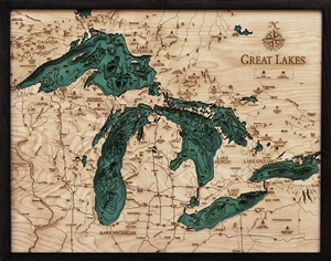
- Great Lakes
- Bass Islands
- Beaver Island
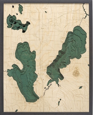
- Burt and Mullet Lakes
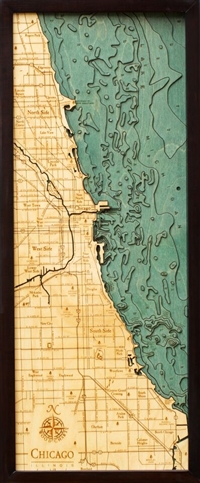
- Chicago
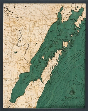
- Door County
- Drummond Island
- Grand Traverse Bay
- Great Lakes Composite
- Lake Charlevoix
- Lake Erie
- Lake Huron
- Lake Mendota & Monona
- Lake Michigan
- Lake Ontario
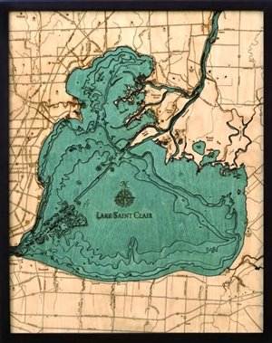
- Lake St. Clair
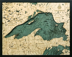
- Lake Superior
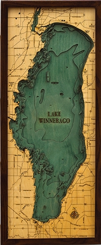
- Lake Winnebago
- Michigan Route M-22
- Minneapolis-St Paul
- Muskegon to South Haven
- Northwest Michigan
- West Coast
- Alaska
- Alaska Inside Passage
- Baja Peninsula
- Big Bear Lake
- California Coast
- Carmel-by-the-Sea
- Catalina Island
- Columbia River Mouth
- Crater Lake
- Golden Gate
- Grand Canyon
- Hawaii
- Hawaiian Islands
- Huntington Beach
- Kauai
- Seattle
- Lake Arrowhead
- Lake Tahoe
- Lake Washington
- Los Angeles to San Diego
- Malibu
- Maui
- Monterey Bay
- Newport Beach
- Oahu
- Oregon Coast
- Portland
- Puget Sound
- Salish Sea
- San Diego
- San Francisco Bay
- San Juan Islands
- Santa Barbara
- Whidbey & Camano Islands
- Florida & The Gulf
- Amelia Island
- Anna Maria Island
- Charlotte Harbor
- Eagle Mountain Lake
- Florida Keys
- Fort Myers/Cape Coral
- Ft. Lauderdale
- Galveston
- Grapevine Lake
- Gulf of Mexico
- Houston
- Jupiter
- Key Biscayne
- Lake Conroe
- Lake Georgetown
- Lake Houston
- Lake Livingston
- Mexico
- Treasure Coast
- Lake Ray Hubbard
- Lake Travis
- Lewisville Lake
- Longboat Key
- Miami Beach
- Naples
- New Orleans
- Palm Beach
- Sanibel Island
- Siesta Key
- St. Augustine
- Tampa Bay
- White Rock Lake
- Inland
- Arbutus Lake
- Burt and Mullet Lakes
- Crooked Lake
- Eagle Mountain Lake
- Finger Lakes
- Flathead Lake
- Grapevine Lake
- Higgins Lake
- Houghton Lake
- Lake Arrowhead
- Lake Charlevoix
- Lake Cumberland
- Lake Geneva
- Lake Georgetown
- Lake Leelanau
- Lake Mendota & Menona
- Lake Minnetonka
- Lake Norman
- Lake of the Ozarks
- Lake Okoboji
- Lake Placid
- Lake Ray Hubbard
- Lake Travis
- Lake Winnebago
- Silver Lake
- Skaneateles Lake
- Torch Lake
- Walloon Lake
- Crystal Lake
- Glen Lake
- Lake Ann
- International
- Gifts & Decor
- Bags & Totes
- Barware
- Blankets
- Clocks
- Block Island
- Boston Harbor
- Cape Cod
- Chesapeake Bay
- Great Lakes
- Gulf of Mexico
- Hawaii the Big Island
- Hawaiian Islands
- Hilton Head
- Holy Land
- Ireland
- Lake Charlevoix
- Lake Michigan
- Lake Superior
- Lake Tahoe
- Lake Winnipesaukee
- Los Angeles To San Diego
- Martha's Vineyard
- Maui
- Monterey Bay
- Nantucket
- Narragansett
- New Orleans
- Northwest Michigan
- Oahu
- Puget Sound
- Salish Sea
- San Francisco Bay
- San Juan Islands
- Santa Barbara
- Walloon Lake
- Cork Maps
- Cribbage Boards
- Custom Tables
- Kinetic Sculpture
- Nautical Door Mats
- Petoskey Stone Art
- Pillow Maps
- Puzzles
- Serving Trays
- Boston Harbor
- Cape Cod
- Chesapeake Bay
- Great Lakes
- Gulf of Mexico
- Hawaiian Islands
- Lake Erie
- Lake Michigan
- Lake Tahoe
- Lake Washington
- Lake Winnipesaukee
- Los Angeles To San Diego
- Manhattan
- Martha's Vineyard
- Nantucket
- Narragansett Bay
- New Orleans
- Puget Sound
- Salish Sea
- San Francisco
- San Juan Islands
- Santa Barbara
- Tableware
- 12 Oz. Petoskey Stone Camp Cup
- 12 Oz. Wine Tumbler
- 20 Oz Great Lakes Map Tumbler Grey & White
- 20 Oz Great Lakes Silhouette Tumbler Blue & Turquoise
- 20 Oz Petoskey Stone Tumbler
- 20 Oz. Great Lakes Bottle
- 20 Oz. Great Lakes Tumbler
- 32 Oz Great Lakes Map Water Bottle
- 32 Oz Great Lakes Silouette Water Bottle Grey
- 32 Oz Petoskey Stone Water Bottle
- Great lakes Coffee Mug
- Great Lakes Map Dish Set
- Great Lakes Melamine Servng tray
- Great Lakes Silhouette Light Blue
- Great Lakes Silhouette Navy
- Great Lakes Silhouette Seafoam
- Great Lakes Silhouette White
- Lake Michigan Map Dish Set
- Michigan Melamine tray
- Tide Clocks
- The Beachroller
- Blog